The Port of Maceió is managed by the Administration of the Port of Maceió (APMC), linked to Companhia Docas Rio Grande do Norte (CODERN). Located on the shores of the Atlantic Ocean, between the beaches of Pajuçara and Jaraguá, it is considered a “natural port”, which facilitates the docking of vessels. Its geographic coordinates are: Latitude: 09°41’00’’ S and Longitude: 35°43’00’.
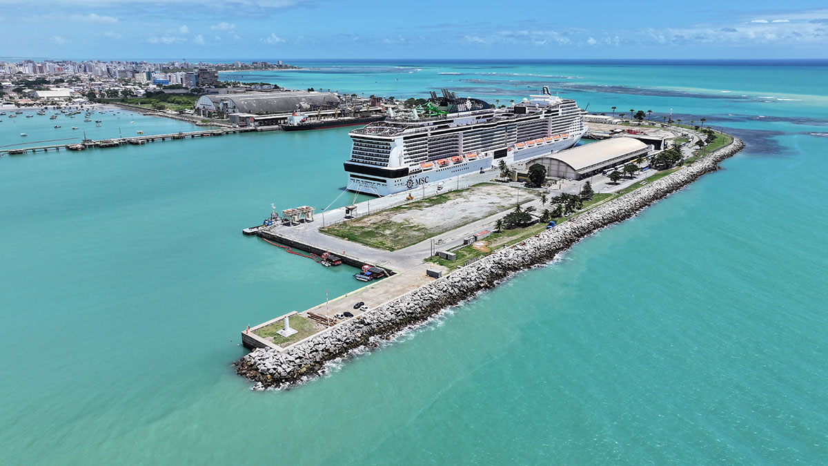
The Port of
Maceió has a total area of 474,071.24 m² and has 16 areas for lease, totaling
325,650.86 m². There are 05 warehouses, 4 of which are external with 1,600 m²
of area and a useful capacity of 12,000 m³ each, 01 internal at Multi-Use Pier
2 with an area of 6,000 m² and a static capacity of 15,000 m³ of cereals, 6
operating berths with a draft of 10 to 11 m, in addition to a paved yard with
an area of 26,000 m² for container handling and storage. The Port of Maceió
also has a Passenger Terminal.
Among the main
products transported, sugar, fuel and salt stand out. The main highways that
connect the Port of Maceió to its hinterland are AL-101, BR-316, BR-104 and
BR-101.
Rua Sá e Albuquerque S/N - Jaraguá - Maceió/AL CEP: 57022-180
+55 82 2121-2500
General information
Latitude: 09°41’00’’ S
Longitude: 35°43’00’’ O
Main Products Transported
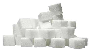
Bulk Sugar

Molasses
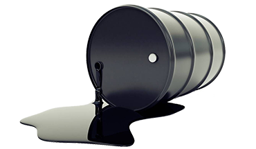
Crude Oil

Diesel oil
Bulk Fertilizer

Gasoline
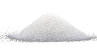
Salt
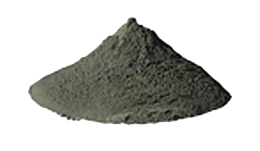
Copper ore
Storage
4 External Warehouses
1.600m² of area
12.000m³ of useful capacity
1 Internal Warehouse
6.000m² of area
15.000m³ of useful capacity
